


Blaze Watch - GLOBE Observer
Blaze Watch
Project Description:
BlazeWatch is a youth-led project working to reduce wildfire risk in Stanley, VA, and the Shenandoah region. By using the GLOBE Observer Land Cover tool, you’ll help collect data on vegetation and land conditions that satellites may miss. This data is shared with local fire departments and state agencies to improve fire risk maps and guide prevention efforts. It also supports real-time decision-making during emergencies by identifying high-risk zones. Your observations help protect forests, homes, and lives. Thank you for contributing!
Project Impact:
Wildfires are growing more dangerous in Virginia, threatening communities and forests. BlazeWatch uses on-the-ground land cover data to identify fire hazards like dry brush and dense floor vegetation that satellites often miss. This information will improve fire risk maps and guide local agencies in targeting prevention efforts. Data will be shared with fire departments and forestry officials to support faster, safer wildfire responses. Our goal is to build a widespread community-driven system that protects lives and ecosystems.
Protocols Used:
Active Dates:
8 August - 31 December 2025
Instructions and Tags
Please use the Land Cover tool to take photos and observations at properties in the marked area. Capture the ground, vegetation, and any nearby structures. In the Field Notes section, try to include details in the following categories with the associated hashtags when possible:
- Structure Type and Number of Stories (add #Flrs)
- Exterior Wall and Roof Materials (add #WallMat and/or #RoofMat)
- Additional Structures, e.g., sheds, decks (add #AddStr)
- Vegetation/Fuel Sources and Visible Hazards, e.g., dry brush, propane tanks (add #Hzrd)
- Water Source, e.g., hose, hydrant, stream (add #Water)
- Road Condition, e.g., paved, narrow, overgrown (add #Road)
These notes help us understand wildfire risk at the local level and support better planning for prevention and emergency response. The hashtags will help us find the data quickly. Thank you for contributing to BlazeWatch!
SAFETY NOTE: Heavily forested or hard to access areas may pose risks. Please stick to proper roads or trails and don't go too far off of marked areas. If you are on private land, please obtain permission from the land owner before collecting data.
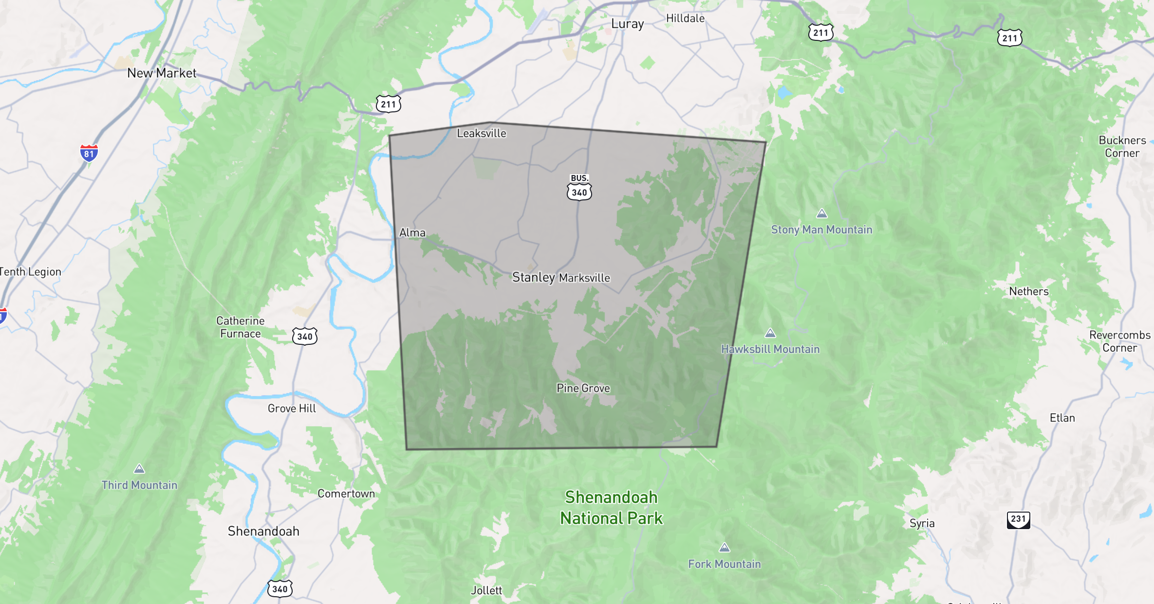
Region of Interest:
Data collection is requested near Stanley, Virginia, including portions of Shenandoah National Park.
The short link to this page is https://observer.globe.gov/blazewatch