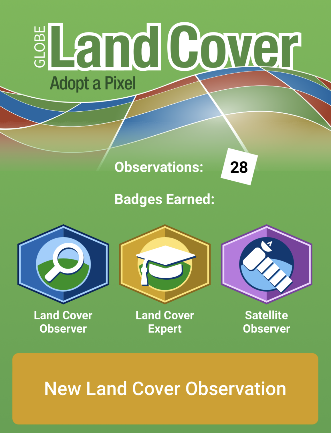
The NASA GLOBE Land Cover Challenge 2022: Land Cover in a Changing Climate has concluded. Read a summary of the challenge results, or download a customizable certificate of participation (PDF) to print or share on social media. For those observers who contributed more than 25 or more than 50 observations, we will be in touch soon about your digital Landsat image and/or mailing your Landsat material. Thank you for participating, and remember that even though the challenge is over, you can always continue to collect data for GLOBE!
Nearly every aspect of our lives is fundamentally tied to the land on which we live. Documenting what is on the land (land cover) is important for many areas of critical science studied by NASA scientists and others, including hazard analysis for floods, fires and landslides, mapping wildlife habitat, and tracking the impacts of climate change. The Global Learning and Observations to Benefit the Environment (GLOBE) Program invites you to take part in our upcoming Land Cover Challenge: “Land Cover in a Changing Climate.”
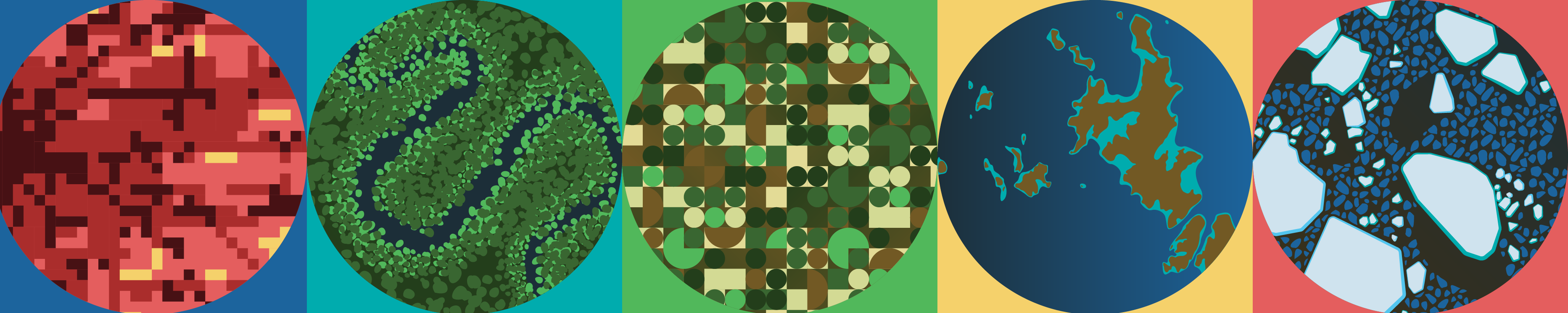
The photos you take using The GLOBE Program’s GLOBE Observer app document the current land cover and may also show evidence of land cover or land use change in the area. We especially encourage you to look for places you know have changed (or where you know change is coming), and put any information about the reasons or timing for that change in the field notes section. While existing land cover databases (such as the 50-year record from the Landsat satellite) may be able to indicate where change is happening, they don’t always include the reasons why those changes occurred, so any local, on-the-ground knowledge you share with us can be especially helpful.
How to participate:
Download the GLOBE Observer app and register an account.
Take photos of the landscape around you using the Land Cover tool. (Remember to always be safe and follow local guidelines when observing.)
Comment in the field notes about any changes you know have occurred in the area you photographed, or changes you know are planned.
While you are welcome to continue to the next part of the app to classify the land cover you have photographed, the photos themselves and the field notes are the most important aspects of this challenge.
If you contribute 25 observations between 26 July and 26 August, we will send you a digital Landsat image of one of your observations. If you contribute 50 or more observations during the challenge, we will mail you Landsat commemorative material.
Weekly themes:
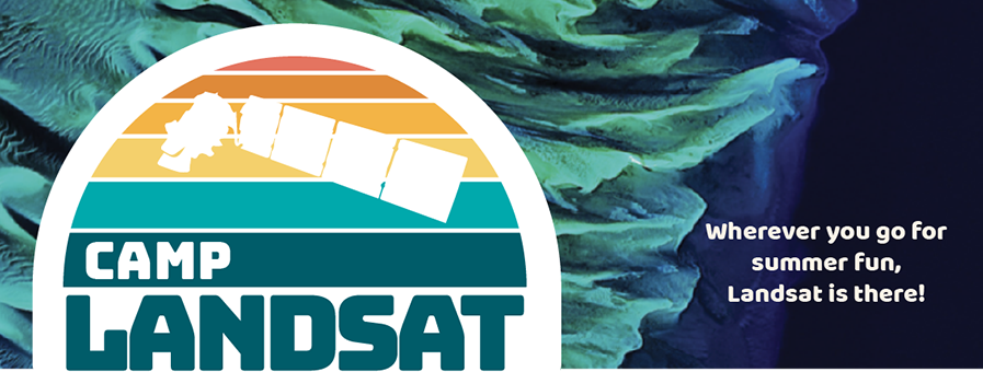
We are collaborating with the Landsat communications and outreach team and their Camp Landsat summer programming to bring you themes for each week of the challenge. For each theme, we will release a video on social media, and the Camp Landsat website will have a variety of connected resources and activities.
The weekly videos featuring scientists will be released each Friday on the social media pages indicated below.
22 July: Dr. Christopher Neigh, Landsat 9 Project Scientist at NASA's Goddard Space Flight Center, about how Landsat has observed change over time (NASA Earth)
29 July: Dr. Eric Brown de Colstoun, Physical Scientist in the Biospheric Sciences Laboratory at NASA's Goddard Space Flight Center, about land cover and urbanization (NASA Climate)
05 August: Dr. Robert Kennedy, Associate Professor in the College of Earth, Ocean, Atmospheric Sciences at Oregon State University, about the carbon cycle and ecosystem change (NASA Climate)
19 August: Dr. Kate Fickas, USGS Mendenhall Fellow at the U. S. Geological Survey's Earth Resources Observation and Science (EROS) Center, about water and land cover (NASA Earth)
26 August: Dr. Christopher Shuman, Research Scientist in the Cryospheric Sciences Laboratory at NASA's Goddard Space Flight Center, about changes in ice cover (NASA Earth)
26 August: Joy Hamilton, a participant in the Fresh Eyes on Ice project in Alaska, about making observations in her local area (NASA Climate)
02 September: Peder Nelson, Affiliated Researcher in the College of Earth, Ocean, Atmospheric Sciences at Oregon State University and the Land Cover Science Lead for GLOBE Observer, with a wrap-up of the challenge (The GLOBE Program)
[7:41] This video explains what land cover is, why scientists use land cover observations from satellites, as well as why they need help from citizen scientists to collect data.
What's the difference between land cover and land use? How do scientists use satellites to study land cover? Learn more about Land Cover by reviewing these common questions.
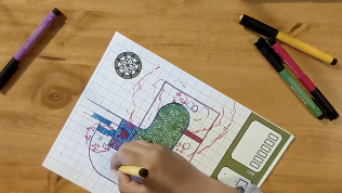
[9:00] A video demonstrating the "Making a Map" activity, which guides you through making a map, including deciding on a purpose for the map, and adding elements such as a grid, a compass, a scale, a key, symbols, and labels that show how different things relate to each other.
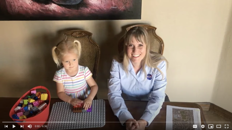
[6:34] Holli Kohl, project coordinator for GLOBE Observer, and her daughter will guide you through how to replicate a land cover map from space with some LEGOs, as well as show you how you can make real-world land cover observations using the NASA GLOBE Observer app.
This activity allows you to make more detailed and quantitative measurements along four transects of a 50m by 50m square observation area (pixel) that can be compared with the percentages estimated using the GLOBE Observer: Land Cover tool and satellite-based maps.