Observation Stations - GLOBE Observer
Did you find an Observation Station?
You can take observations anywhere using the GLOBE Observer app, but observing from a station provides additional information that allows our team to study things like change over time or the accuracy of the app. Just be sure to capture the station in your down photo! Click on the station that you found to learn more.
Interested in hosting your own observation station? Check out the Facilitator’s Guide.
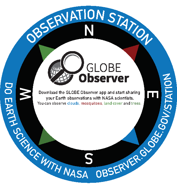
GLOBE Observer Station
Open the app and look through the tools. What kind of observation can you take from here? Is there a clear view of the sky? A potential mosquito habitat? What is the land cover like? Is there a tall tree nearby? This station is a great starting point for exploring the app.
Why observe from this station?
GPS Accuracy
Observation stations help us measure the accuracy of the GPS coordinates provided by the app. This is why it’s important for you to capture the station in your DOWN photo when using the Clouds and Land Cover tools. We can compare observations from the stations and see if the coordinates match.
Compass Calibration
When taking an observation, the directions in the app should match up to the directions on the station. If they don’t, you may need to calibrate your compass. Search for instructions on how to calibrate the compass on your phone model. If the directions still don’t match up after calibrating your compass, use a navigation app to see if your phone is reading the compass correctly. Look for a nearby landmark and see if you are facing the same direction in the navigation app. If you are still having issues with the compass, please report the problem to us.
Ideal Location
The station should be placed at a location that is ideal for taking observations, whether that’s an open sky for Clouds observations or near a potential habitat for Mosquito Habitat Mapper observations. The station might even be customized to tell you which tools work best here.
Repeat Observations
Repeat observations from this spot can reveal long-term changes or provide insights into seasonal changes.
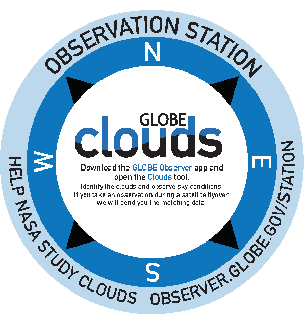
Clouds Station
Download the app and open the Clouds tool. The app will ask you to observe sky conditions, such as cloud cover, sky color, and visibility, before taking photos. When you take your DOWN photo, be sure to capture the station.
Why observe from this Station?
GPS Accuracy
Observation stations help us measure the accuracy of the GPS coordinates provided by the app. This is why it’s important for you to capture the station in your DOWN photo when using the Clouds tool. We can compare observations from the stations and see if the coordinates match.
Compass Calibration
When taking an observation, the directions in the app should match up to the directions on the station. If they don’t, you may need to calibrate your compass. Search for instructions on how to calibrate the compass on your phone model. If the directions still don’t match up after calibrating your compass, use a navigation app to see if your phone is reading the compass correctly. Look for a nearby landmark and see if you are facing the same direction in the navigation app. If you are still having issues with the compass, please report the problem to us.
Ideal Location
You will need a clear view of the sky, unobstructed by trees or buildings, to take a Clouds observation. The station should be placed at a location that is ideal for taking observations.
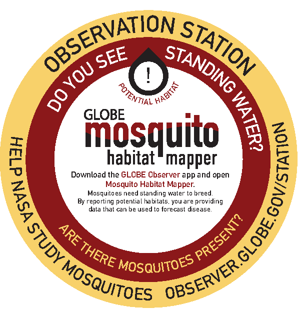
Mosquito Habitat Mapper Station
Download the app and open the Mosquito Habitat Mapper tool. Look around you, is there standing water nearby? The station should be facing a potential habitat.
Why observe from this Station?
GPS Accuracy
Observation stations help us measure the accuracy of the GPS coordinates provided by the app. This is why it’s important for you to capture the station in your DOWN photo when using the Clouds and Land Cover tools. We can compare observations from the stations and see if the coordinates match.
Ideal Location
The station should be placed so that it is facing a potential habitat, like a pond or drainage ditch.
Repeat Observations
Repeat observations from this spot can provide insights into the availability of mosquito habitats and the arrival of mosquitoes. You may find that the pond is dried up, and there are no mosquitoes present. Alternatively, you may find that there are larvae much earlier or later in the season than you would expect. This is all important information to share with scientists.
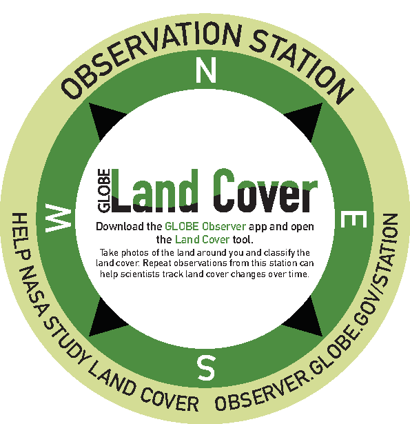
Land Cover Station
Download the app and open the Land Cover tool. Look around you, what’s covering the ground? Grass? Trees? Concrete?
Why observe from this Station?
GPS Accuracy
Observation stations help us measure the accuracy of the GPS coordinates provided by the app. This is why it’s important for you to capture the station in your DOWN photo when using the Land Cover tool. We can compare observations from the stations and see if the coordinates match.
Compass Calibration
When taking an observation, the directions in the app should match up to the directions on the station. If they don’t, you may need to calibrate your compass. Search for instructions on how to calibrate the compass on your phone model. If the directions still don’t match up after calibrating your compass, use a navigation app to see if your phone is reading the compass correctly. Look for a nearby landmark and see if you are facing the same direction in the navigation app. If you are still having issues with the compass, please report the problem to us.
Ideal Location
The station should be placed at a location that is ideal for taking observations or in an area of interest.
Repeat Observations
Repeat observations from this spot can reveal long-term changes or provide insights into seasonal changes.
Trees Station
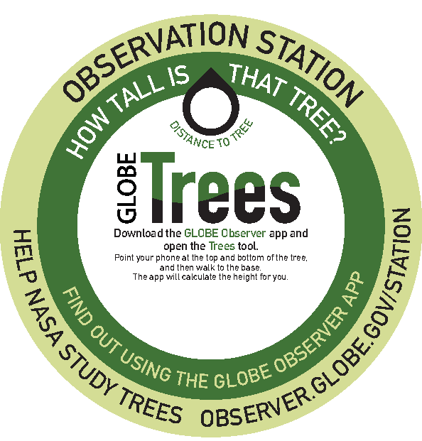
Download the app and open the Trees tool. Do you see a tree nearby? The station should be facing one and have the distance to the tree.
Why observe from this Station?
GPS Accuracy
Observation stations help us measure the accuracy of the GPS coordinates provided by the app. This is why it’s important for you to capture the station in your DOWN photo when using the Clouds and Land Cover tools. We can compare observations from the stations and see if the coordinates match.
Check Your Step Length
The estimates your step length based on your height. However, everyone is different, and this is just an estimate. Did the app calculate the distance to the tree that is on the station? If not, there are two things that you can do to improve the accuracy of your measurement. First, you can manually enter the distance to the tree using the distance written on the sticker. Just remember to make sure that the units match (if the sticker is in feet, make sure that your app is using English units). Alternatively, you can use the known distance to the tree to figure out how long your step length is, and manually enter it into the app. This takes longer, but once you know your average step-length, all of your tree measurements will be more accurate, not just to the ones from the station. To do this, count your steps to the tree. Divide the distance on the sticker by the number of steps you took. This is your average step length. You can enter this information into the app.
Ideal Location
The station should be placed at a location that is ideal for taking a Trees observation.
Repeat Observations
Repeat observations can help us track the growth of this tree over time.
GO on a Trail Station
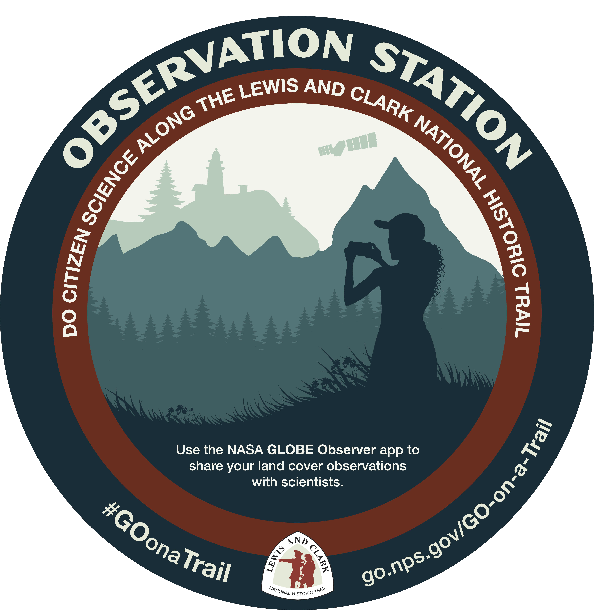
This station is part of the GO on a Trail challenge, which runs from June 1 - September 2, 2019. These stations are located at various points along the Lewis and Clark National Historic Trail. By taking land cover observations at these stations, you can earn points towards the challenge. Learn more about the challenge.
Facilitator’s Guide
Observation Stations are a great way to introduce your visitors to GLOBE Observer and gather data about your location. To host a station, all you have to do is identify a site, download the template, customize it for your location, and have it printed. We recommend 2’ diameter concrete or asphalt stickers, but you may choose another size or medium. Concrete or asphalt stickers typically last up to three months. However, you may be able to find options that are more temporary or permanent. Choose whichever works best for your site.
If you need help, don’t hesitate to contact us.
Choosing an Observation Station
Use this table to find a station that works best for your site. Once you’ve decided which you would like to use, click here to download the templates. You will need a PDF editing software, such as Adobe Acrobat Pro or Illustrator in order to customize the stations.
| Station Type | Customization | Placement | Purpose | |
|---|---|---|---|---|
|
Generic |
Add your logo to the white space below the text. Consider which protocols will work best where you want to place the sticker. For example, if there are no trees or mosquito habitats nearby, you may wish to remove this text from the station. |
Align with cardinal directions. Ensure that repeated observations from this station will not result in damage, based on the volume of visitors and sensitivity of the tree or landscape. |
|
|
| Clouds |
Add your logo to the white space below the text. |
Place in an area with a clear view of the sky. Take an observation with the app to ensure there are no obstructions. Align with cardinal directions. |
Point out an ideal location for observations. Check compass calibration. Validate GPS. |
|
| Mosquito Habitat Mapper |
Add your logo to the white space below the text. |
Place near a potential habitat. Works better with permanent natural habitats, such as a pond (habitats that can be eliminated should be). |
Point out an ideal location for observations. Track mosquito phenology. |
|
| Land Cover |
Add your logo to the white space below the text. |
Place where you can see 50 m of land cover in each direction, preferably without obstructions like tall buildings or dense vegetation. A location with simpler land cover will make it easier for beginners to get started with the app. Consider what you would like to learn about the landscape. If you would like to see how rainfall affects the water level in an adjacent river, place the station somewhere along the shore. If you want to learn when a butterfly garden begins to grow each year, place the station near the garden. Align with the cardinal directions. Ensure that repeated observations from this station will not result in damage, based on the volume of visitors and sensitivity of the landscape. |
Validate GPS. Check compass calibration. Track phenology and land cover change. |
|
| Trees |
Add your logo to the white space below the text. Measure the distance from the proposed location of the sticker to the tree. Add the distance to the sticker. Remember to include the units! |
Place near an observable tree, at a known distance. You can find more information about observable trees within the app. Ensure that repeated observations from this station will not result in damage, based on the volume of visitors and sensitivity of the tree or landscape. |
Minimize errors from calculated step length. Participants can calculate their own step length. Track growth and phenology. |
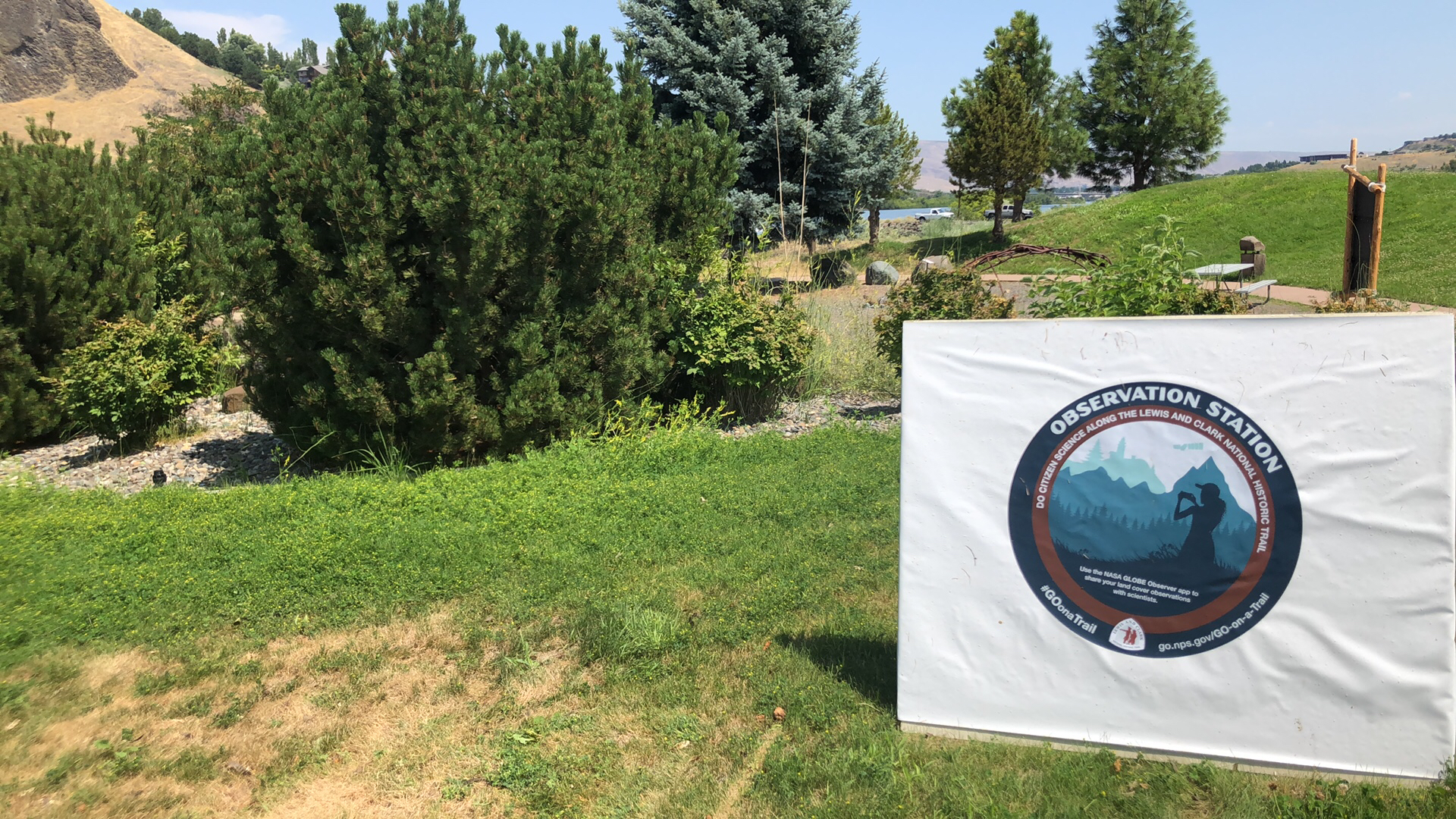
An example of an observation station in Lewiston, Idaho during the GO on a Trail challenge in 2019


