News - GLOBE Observer
Adopt a Pixel 3 km
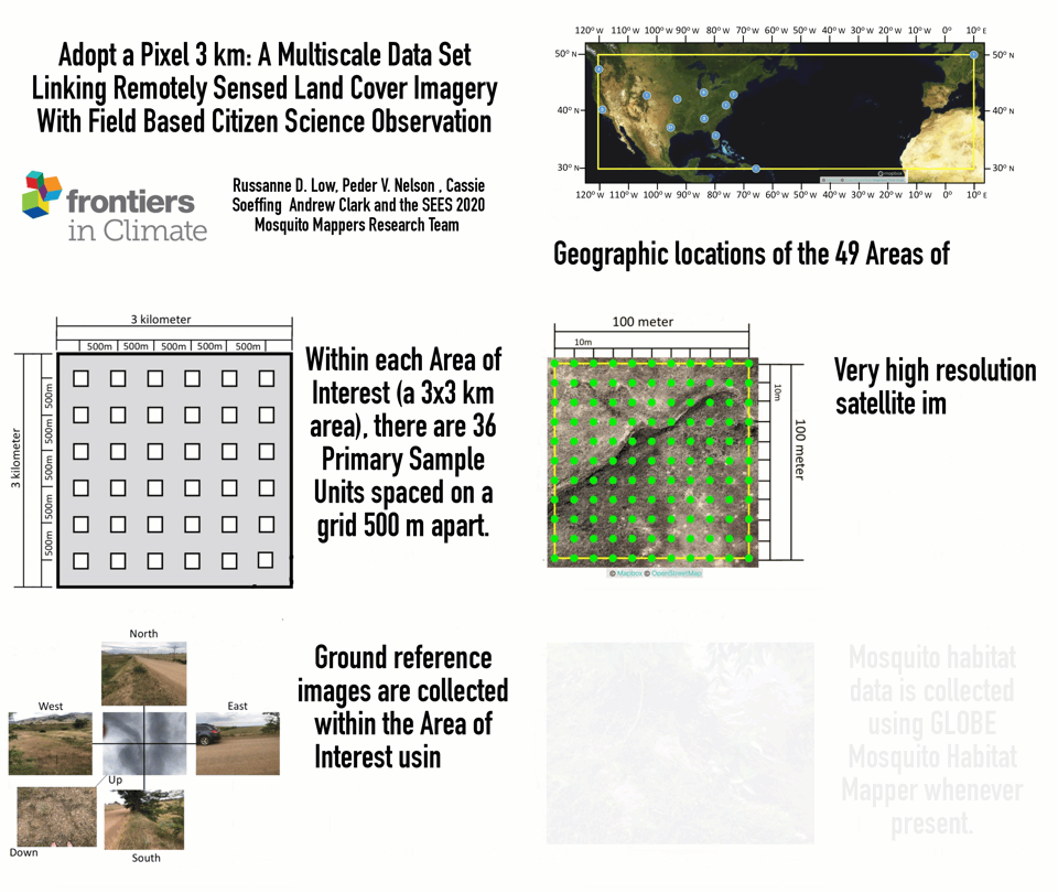
On November 18, 2021, Dr. Russanne Low, Peder Nelson, Cassie Soeffing, Andrew Clark and the 2020 cohort of SEES Mosquito Mappers Research Team published a new peer-reviewed article in Frontiers in Climate, titled “Adopt a Pixel 3 km: A Multiscale Data Set Linking Remotely Sensed Land Cover Imagery with Field Based Citizen Science Observation.”
This data report documents Adopt a Pixel 3 km, a method for systematically collecting GLOBE Land Cover and Mosquito Habitat data with the GLOBE Observer app and classifying correlating high resolution satellite imagery. It documents data collected and analyses done by 74 high school research interns participating in the STEM Enhancement in Earth Sciences summer research experience.

Read the paper here.
Low, R.D., Nelson, P.V., Soeffing, C., Clark, A., SEES 2020 Mosquito Mappers Research Team. (2021) Adopt a Pixel 3 km: A Multiscale Data Set Linking Remotely Sensed Land Cover Imagery with Field Based Citizen Science Observation. Frontiers in Climate, 18. https://doi.org/10.3389/fclim.2021.658063
Comments
View more GLOBE Observer news here.


