News - GLOBE Observer
Land Cover Challenge 2022 Summary and Wrap-up

From 26 July to 26 August, we asked our volunteer scientists to use GLOBE Observer to collect observations of land cover, tying in with the 50th anniversary of the Landsat satellite and with a special focus on land cover in a changing climate. And our volunteers delivered! You sent in over 1,600 observations during the challenge period, compared to the usual average of about 300 a month during the first five months of 2022. Those observations came from 180+ individual observers at over 1,100 different data collection sites in 28 countries and from all six GLOBE regions. In addition, we had 22 volunteer observers who collected more than 25 land cover observations, and 12 of those volunteer observers collected more than 50 observations. An extra big thank you to those especially dedicated individuals!
During the challenge, we also encouraged participants to explore the
activities and resources related to remote sensing through Camp
Landsat 
As a result of the challenge, over 9,100 new photos were added to the
GLOBE database. These photos document the current land cover and
provide a snapshot in time of the conditions at those locations –
information that can help with future research on a number of topics.
In addition, we encouraged volunteer scientists to comment in the
field notes about any changes they saw or knew had occurred in the
area photographed, or changes they know are planned. We selected a
small subset of photos with those types of comments for the highlights
video below, to showcase that especially valuable additional data.
Existing land cover databases (such as the 50-year record from the Landsat satellite
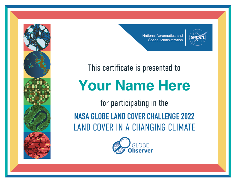
For all our participants, you can download a customizable certificate of participation (PDF) to print or share on social media. For those observers who contributed more than 25 or more than 50 observations, we will be in touch with you soon about your digital Landsat image and/or mailing you Landsat material. Thank you to everyone for participating, and remember that even though the challenge is over, you can always continue to collect data for GLOBE!
Comments
View more GLOBE Observer news here.


