News - GLOBE Observer
GLOBE Goes to the Amazon
This is Rusty Low, scientist with the GLOBE Observer Science Team, reporting from the Amazon Rainforest in the Tapajós National Forest, Municipality of Belterra, Para, Brazil for the NASA GLOBE Trees Challenge 2022: Trees in a Changing Climate. My co-author for this blog is Erick Luiz Souza Silva. He is a graduate student at the Federal University of Brasilia.
Tapajós National Forest was established in 1974 and is managed by the Chico Mendes Institute for the Conservation of Biodiversity, as part of Brazil's extensive system to protect rainforest habitats. The Amazon is home to an estimated 10% of all known species on Earth and over 4,000 tree species! In comparison, the entire continent of Europe has only 454 tree species, and the United States has fewer than 900 species.

Light Green Terrain: Amazon Basin Boundary
Red Dot: Location of Tapajós National Forest
Yellow Line: Approximate Enclosure of Amazon River Drainage Basin
Black Line: National Boundaries


I had hoped to use the GLOBE Observer Trees tool while in the forest, but the forest growth structure prevented me from having full visibility. The forest floor is densely vegetated, and the tree canopy is very tall. This makes it difficult to meet the GLOBE Observer Trees tool sightline requirements for accurate measurements.
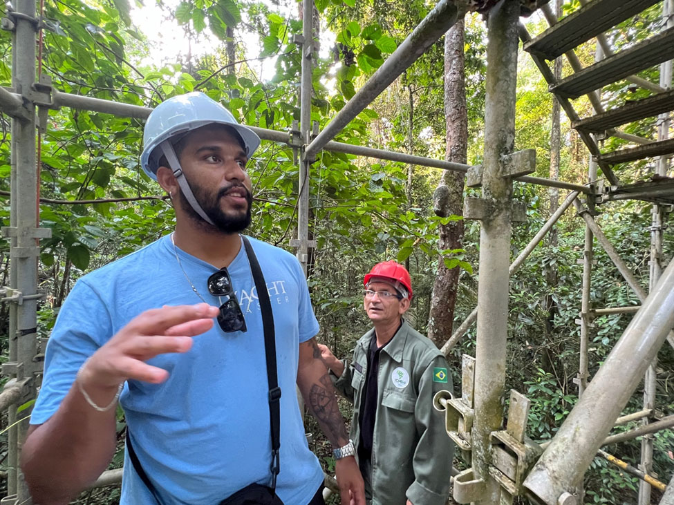
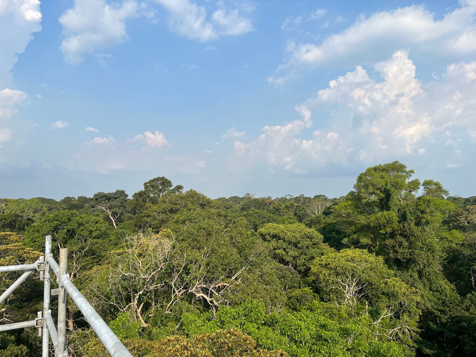
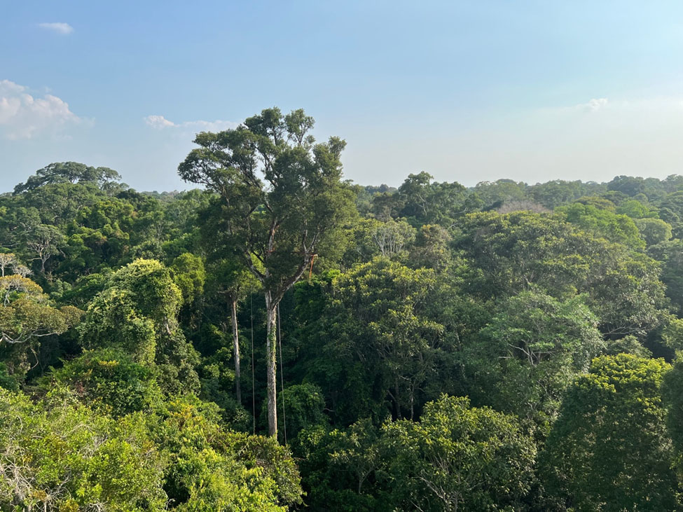
However, I was able to see the top of the canopy by scaling a 45 meter observation tower, putting me right on top of the forest! The tower is located in a section of primary forest, where trees are of mixed ages and have an average height of 35-40 meters (115 to 131 feet). To install the tower, the team had to clear a section of trees, so I was able to get a clear view of the sky, despite being in the middle of the forest.
Even though I couldn’t make tree observations, I was able to document some of the vegetation via the GO Land Cover tool! After all, trees are land cover!


A forest clearing and the observation tower.


The Tapajós National Forest has been part of the Large-Scale Biosphere-Atmosphere Experiment; a flux tower mounted with sensors has been quantifying the net energy and mass exchanges occurring in the tree canopy since 2002. Of late, research using flux towers has been used to validate remotely sensed data from space. We have also learned from instruments such as these that the Amazon creates its own weather. About half of rainfall in the Amazon comes from the trees themselves. This occurs when the trees pull water from the soil and release it to the atmosphere through their leaves as water vapor. Gradually, the vapor cools, condenses, and returns to the forest as rain.
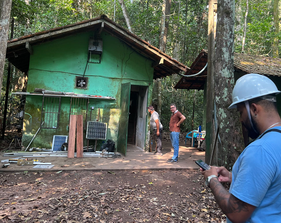
The Amazon rainforest’s health is vital to planetary health. Tropical rainforests are often referred to as Earth’s "lungs" because they draw in carbon dioxide and “breathe out” oxygen. The specific amount of carbon dioxide absorbed or released is impacted by year-to-year climate variations and anthropogenic deforestation. Recent measurements (2021) by scientists show that in the southeastern Amazon, where the Tapajós National Forest is located, we have reached a "tipping point," where the process of clearing and burning the forest now adds more CO2 to the atmosphere, than is taken in and stored by the trees. The current deforestation trend is discouraging: more fires have burned in the Brazilian Amazon rainforest in September of 2022 than any month in more than a decade – due to a surge in illegal deforestation. Fires in the Amazon are rare without human agency, many fires experienced today are deliberately set to improve cattle pasture or to clear to make way for agriculture. In fact, so many fires are burning daily that part of the Amazon serves as a source of atmospheric carbon rather than a sink. A carbon source is anything that releases more carbon into the environment than it absorbs and conversely, a carbon sink is anything that absorbs more carbon than it releases.
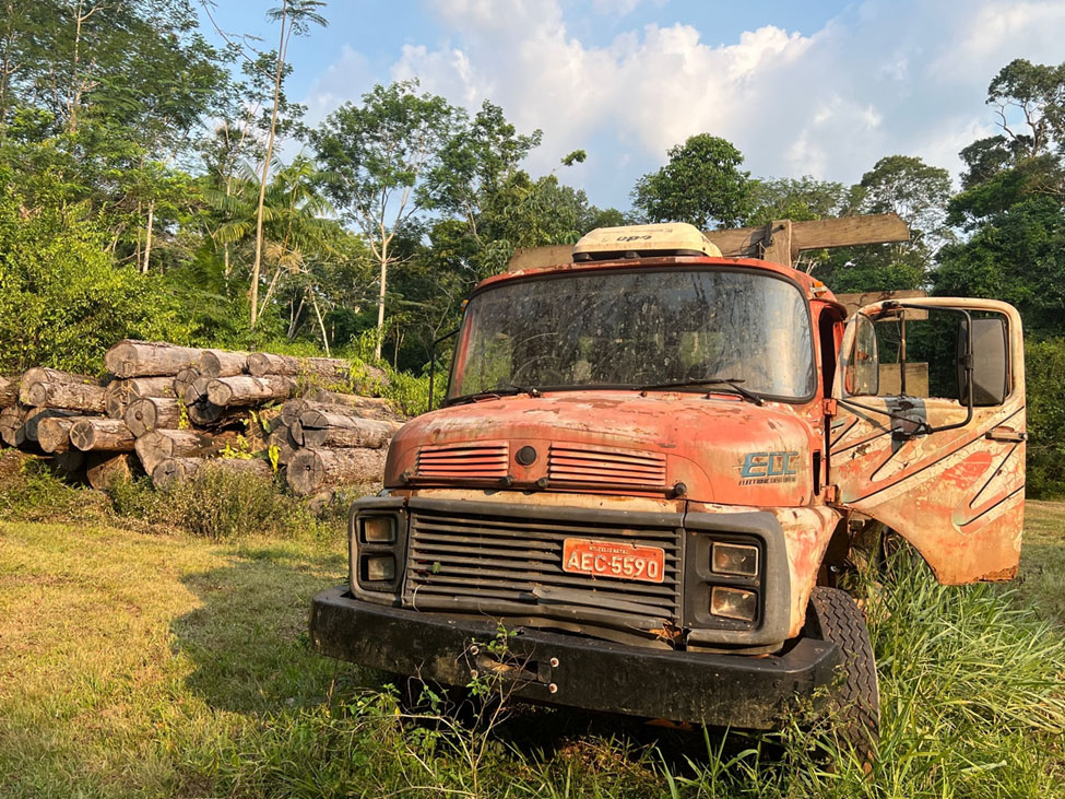
Illegal deforestation continues to be a problem throughout the Amazon. Our guide pointed out that these trees (see image above) were illegally cut in the 1970s, and it was this clearing that stimulated government protection of this section of the Amazonian rainforest. The Tapajós National Forest is also home to several indigenous populations who play important roles in conservation through managed forest use and the sustainable harvesting of forest products. The clearing is now maintained and used by local communities for social gatherings and events.
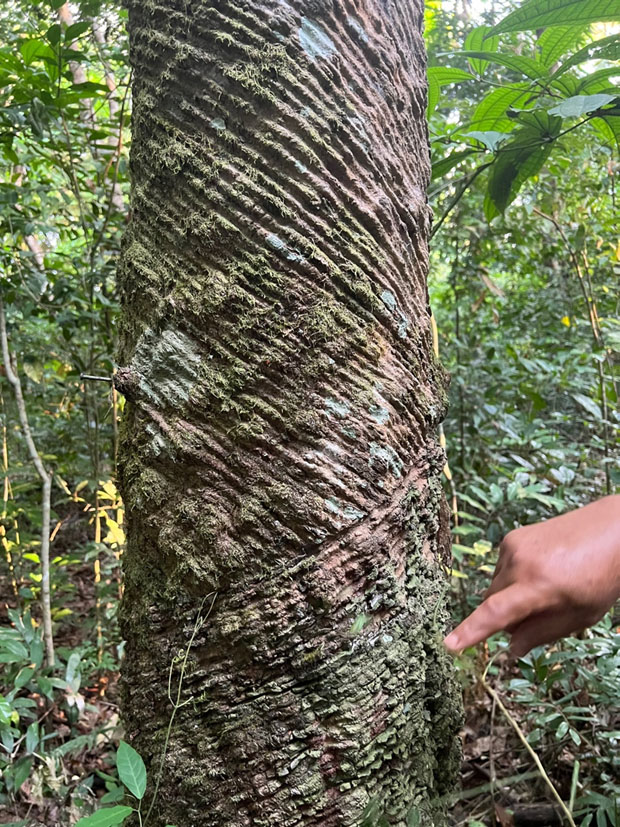
The Amazon plays an essential role in the Earth's climate system; and it remains in everyone's best interest to support conservation efforts like those undertaken in the Tapajós National Forest. The Amazon is unique because of the sheer volume of trees in the region, but all trees play a role in cycling carbon and supporting our climate system. The Trees Challenge runs from 11 October to 11 November and is a great opportunity for YOU to measure trees in your area!
Erick Luiz Souza Silva is a graduate student at the Federal University of Brasilia and works for FUNCATE. Rusty Low, Institute for Global Environmental Strategies (IGES), is a scientist with the GLOBE Observer team and is serving as a Fulbright Scholar with the Brazilian Space Agency, Brasilia (2021-2022).
References:
Gatti, L.V., Basso, L.S., Miller, J.B., Gloor, M., Gatti Domingues, L., Cassol, H.L., Tejada, G., Aragão, L.E., Nobre, C., Peters, W. and Marani, L., 2021. Amazonia as a carbon source linked to deforestation and climate change. Nature, 595(7867), pp.388-393. DOI:10.1038/s41586-021-03629-6
Paca, V.H.d.M.; Espinoza-Dávalos, G.E.; da Silva, R.; Tapajós, R.; dos Santos Gaspar, A.B. Remote Sensing Products Validated by Flux Tower Data in Amazon Rain Forest. 2022, Remote Sens. 14, 1259. https://doi.org/10.3390/ rs14051259
Facts about the Amazon Rainforest:
- The Amazon is the world's largest rainforest, home to over 3 million organisms, including over 4,500 tree species.
- 1/5 of the world's freshwater is in the Amazon basin.
- 1 in 10 known species on Earth are found in the Amazon
- The Amazon is home to about 1.5 million indigenous people, distributed across 385 ethnic groups
- The Amazon creates its own weather. About half of rainfall in the Amazon comes from the trees themselves: they pull water from the soil and release it to the atmosphere through their leaves as water vapor. Eventually, the vapor cools, condenses, and returns to the forest as rain.
- The Amazon Rainforest is threatened: 1.4 billion acres of dense forests; approximately 20% of the forest has been cleared for timber, grazing, and farming, and 200,000 acres of forest are burned every day
Comments
View more GLOBE Observer news here.


