Trees Books, Videos and Presentations - GLOBE Observer
Books, Videos and Presentations
Add tree-related videos and presentations to your program or host a tree-themed book club.
Amazon Canopy Comes to Life through Laser Data
[2:01] Flying and aircraft over the Brazilian Amazon with an instrument firing 300,000 laser pulses per second, NASA scientists have made the first 3D measurements of forest canopies in the region. With this research they hope to shed light on the effects of prolonged drought on forest ecosystems and to provide a potential preview of stresses on rainforests in a warming world.
Breaking Down the Big Questions at NASA
[5:56] This video from My NASA Data, featuring GLOBE Observer Trees lead Brian Campbell, is a resource that can be used alongside any activity that involves creating and developing questions. The video focuses on questions about trees and uses examples from the GLOBE Trees Around the GLOBE Student Research Campaign, but the basic principles are necessary for asking scientific questions and can also be used in a broader context.
[1:20] Trees are diverse and tree height can tell us a lot about Earth’s ecosystems. Satellites and ground-based measurements are used to track tree growth, monitor how well an ecosystem supports trees, and estimate how much carbon is stored by trees. GLOBE’s citizen scientist community encourages citizen scientists to use the GLOBE Observer app to take tree height measurements with their smart phones. These observations are added to a freely available, global inventory of tree height.

How To Take A Trees Observation
[8:21] GLOBE Observer Trees science lead Brian Campbell (NASA Wallops Flight Facility) demonstrates how to use the GO app to take a tree height measurement.
NASA eClips: Dr. Lola Fatoyinbo Agueh
[1:51] Dr. Lola Fatoyinbo Agueh, a Research Physical Scientist at NASA's Goddard Space Flight Center, shares her journey from her childhood to current career in a video from NASA eClips.
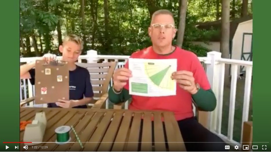
Paper Clinometer Activity Demo
[12:29] Brian Campbell, science liaison and outreach lead for GLOBE Observer Trees, and his son Andy demonstrate how to make and use a simple paper clinometer to measure the height of trees. To do this activity, you will need a printout of the clinometer activity sheet, a straw, a pen or pencil, scissors, tape, string, and some sort of weight for the string such as a washer, nut or paperclip. A rigid surface such as clipboard or piece of cardboard may also be needed to attach the clinometer to as you are measuring the angle to the top of the tree.
NASA eClips Real World: The Carbon Cycle
[5:43] Carbon is an essential building block for life. Learning how carbon is converted through slow- and fast-moving cycles helps us understand how this life-sustaining element moves through the environment. Discover how NASA measures carbon through both field work and satellite imagery keeping watch through its eyes on the sky, on Earth, and in space.
The Adventures of Pho the Photon
[2:48] Pho, a plucky bright green photon of light, must travel from a NASA spacecraft down to Earth and back again to help complete a crucial science mission in this educational short film. The animation was created and produced by media art students from the Savannah College of Art in Design (SCAD) in Georgia, in collaboration with NASA’s Ice, Cloud and Land Elevation Satellite-2 (ICESat-2) mission. Their goal was to communicate the science and engineering of the mission, slated for launch in 2018.
[3:05] The Global Ecosystem Dynamics Investigation, or GEDI, uses advanced laser technology to reveal the makeup of remote forest ecosystems around the globe. Its measurements of the height of leaves, branches, trees, and shrubs below its path will help scientists map the structure of forests and better understand how ecosystems are storing or releasing carbon.
[3:29] Forests in the United States are constantly changing. For four decades NASA and the U.S. Geological Survey's Landsat satellites have kept a steady watch from space, and now scientists are turning yearly data sets into powerful time series that show the evolution of the landscape. In this visualization of false color images taken of the Pacific Northwest from 1984 to 2011, scientists see many different stories.
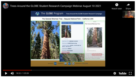
Trees Around the GLOBE Webinars
The Trees Around the GLOBE Student Research campaign has held a number of monthly webinars focusing on the scientific research of trees, and bringing in experts from around the world to share their current research experiences with trees and the importance of the GLOBE protocol measurements to understanding our planet's trees and their roles in our Earth's ecosystem. This page has a listing of archived webinars, as well as information about upcoming ones.
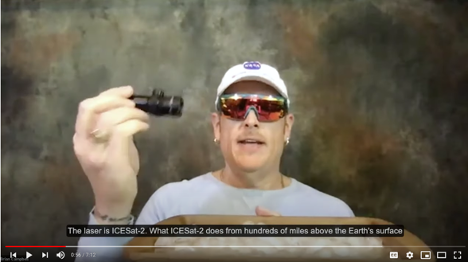
Trees, ICESat-2, Lasers, and Open Altimetry
[7:12] NASA's ICESat-2 uses lasers to measure heights on Earth, including tree heights. GLOBE Observer Trees science lead Brian Campbell from NASA's Wallops Flight Facility explains the satellite, how it connects to tree height observations, and how to access the data online through Open Altimetry.
Volunteer Scientist Panel Video
[11:10] A video showcasing stories from GLOBE volunteers about how they got started with GLOBE and the GLOBE Observer app, and connections they have made to research and to using GLOBE in their communities. This was originally shown as part of the GLOBE Observer Connection-Conversation-Celebration (C3) event held on 26 July 2022.


