Get the App - GLOBE Observer
Get the App
![]()
GLOBE Observer, the app of The GLOBE Program, invites you to make environmental observations that complement NASA satellite observations to help scientists studying Earth and the global environment. Those in the 120+ GLOBE countries can download and use the app.
By using the GLOBE Observer app, you are joining the GLOBE community and contributing important scientific data to NASA and GLOBE, your local community, and students and scientists worldwide.
To participate, download the app, register with an email address (you can also register using a web form), then go outside and follow the prompts in the app to observe your environment.
As you collect data, you can earn milestone badges for every 1-5-10-25-50-75-100-150-200-250-300-400+ observations you submit under each protocol. You will receive an email with each milestone badge, unless you choose to opt-out under your account settings. You can also start a streak by collecting data for more than two days in a row. Missing Saturday and Sunday will not disrupt your streak. Track your badges and streaks under My Achievements on the GLOBE Observer app home screen. Learn more.
New and interested users are encouraged to learn more about The GLOBE Program. A one-page summary of GLOBE Observer is also available.
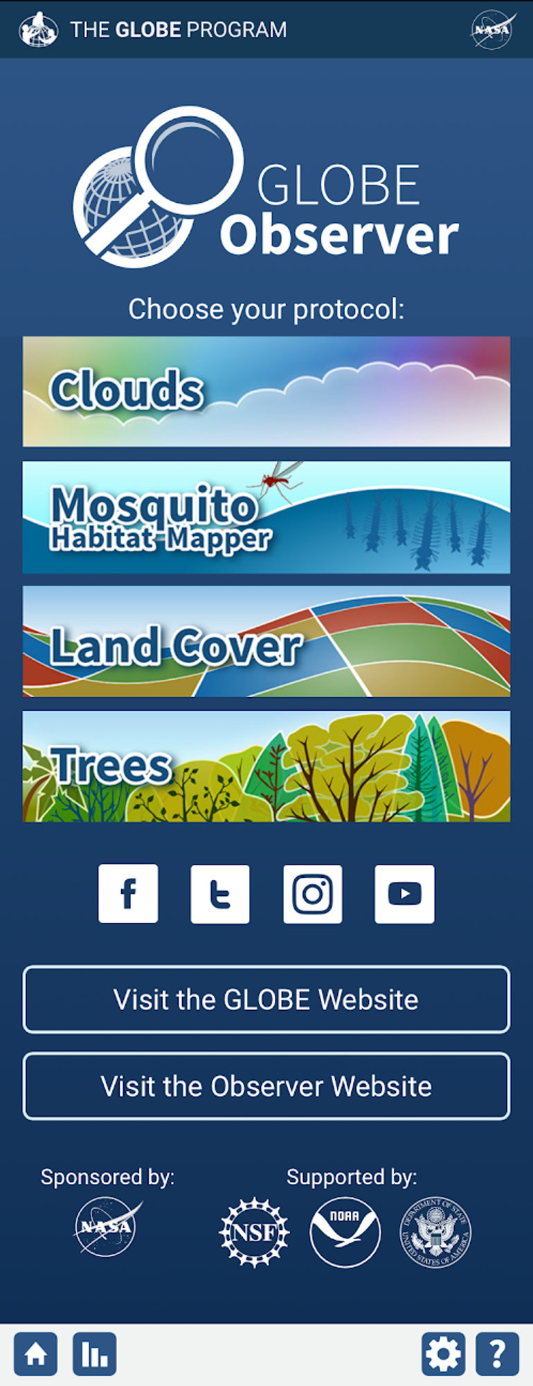
The GLOBE Observer app currently includes four main tools: Clouds, Mosquito Habitat Mapper, Land Cover and Trees.
By photographing clouds, recording sky observations, and comparing them with NASA satellite data, you can help scientists gain a new perspective on clouds that satellites just can't provide: from the ground looking up! This new perspective will help refine satellite-derived models and enhance scientific understanding of Earth's atmosphere.
By identifying potential breeding sites for mosquitoes, sampling and counting mosquito larvae, and by using optional equipment to examine, photograph and identify the genus of your specimens, you will be enabling scientists to verify predictive models of mosquito population dynamics. In addition, public health authorities can use your observations to inform where, when, and how to intervene in their communities to reduce disease risk.
By photographing and classifying the land cover over an area the size of a soccer field, you will be assisting those scientists working to enhance global maps of land cover use. Your observations will contribute to new maps with a finer spatial resolution than is possible using satellites alone. Land cover is critical to many different Earth processes, and is of interest to a wide variety of scientists and decision makers.
The Trees tool allows citizen scientists to measure tree height (and optionally tree circumference) to track the growth of trees over time. Tree height is the most widely used indicator of an environment’s ability to grow trees. Observing tree height allows NASA scientists to understand the gain or loss of biomass which can inform calculations of the carbon that trees and forests either take in from or release into the atmosphere.
Available Languages:
The GLOBE Observer app is currently available in these languages:
- متوفر باللغة العربية
- Dostupno na hrvatskom jeziku
- Beschikbaar in het Nederlands
- Disponible en français
- Erhältlich auf Deutsch
- Available in English
- हिंदी में उपलब्ध है
- Disponível em português
- Доступно на русском
- Disponible en español
- มีให้ในภาษาไทย
- Phiên bản Tiếng Việt


